Rainfall is a defining part of life in East Africa — and when it shifts to extremes, the consequences are serious. After the devastating floods of 2020, the region endured five failed rainy seasons in a row, leading to severe drought and leaving millions facing acute food shortages. As climate scientists, one of our biggest challenges is understanding what drives these swings between flood and drought — and how they might shift in a warming world.
Much of the scientific work so far has relied on climate and weather models to make sense of these patterns. But models are only as good as the observations they’re built on — and in many parts of East Africa, those observations are sparse. Without them, it’s hard to know if the models are getting things right.
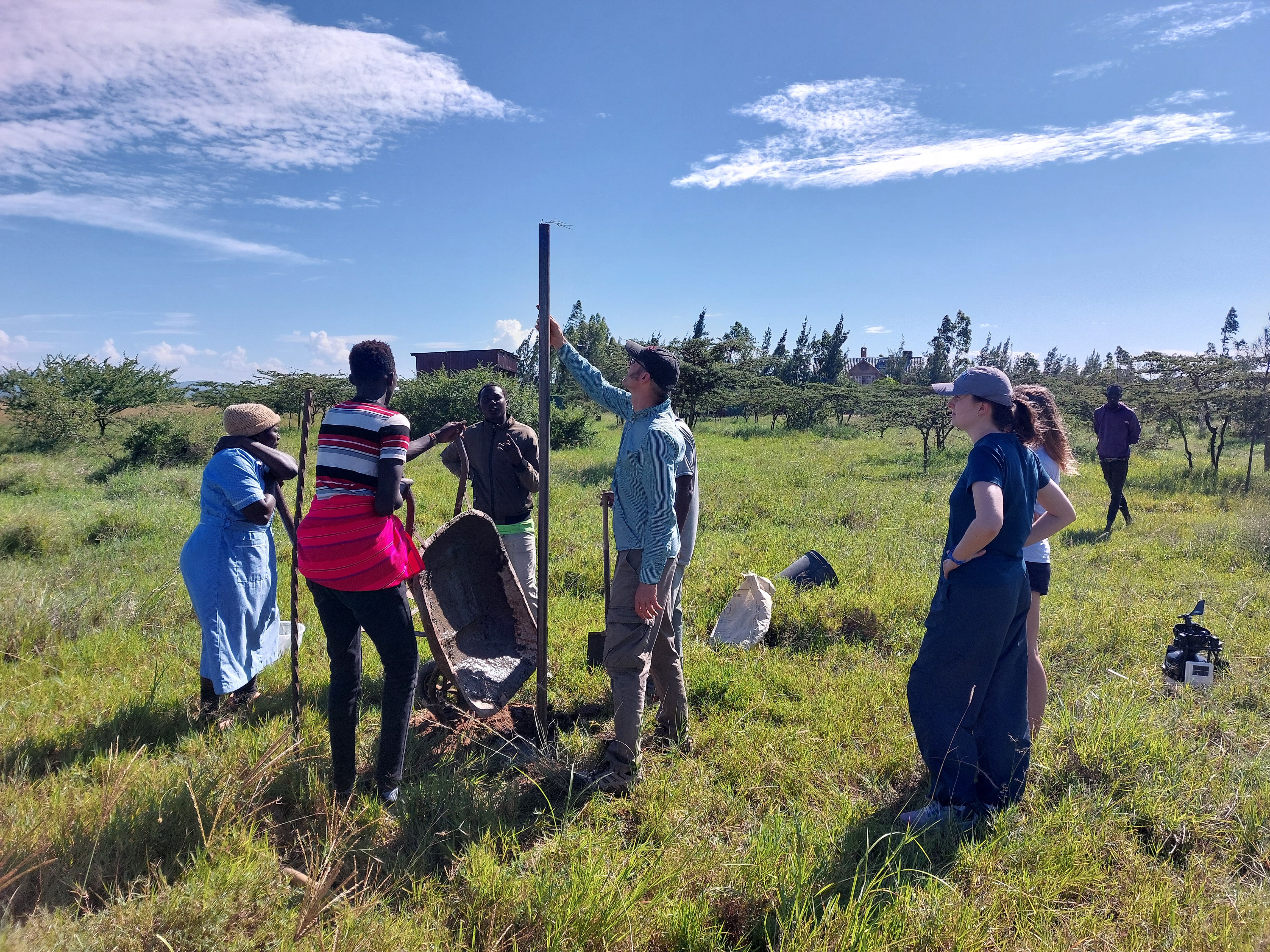
A pole is installed in Narok County to mount a Davis automatic weather station.
That’s where the MASIKA project comes in. Along with colleagues from the University of Nairobi (UoN) and the Kenya Meteorological Department (KMD), I took part in an intensive field campaign designed to observe the start of East Africa’s long rains — one of the region’s two major rainy seasons.
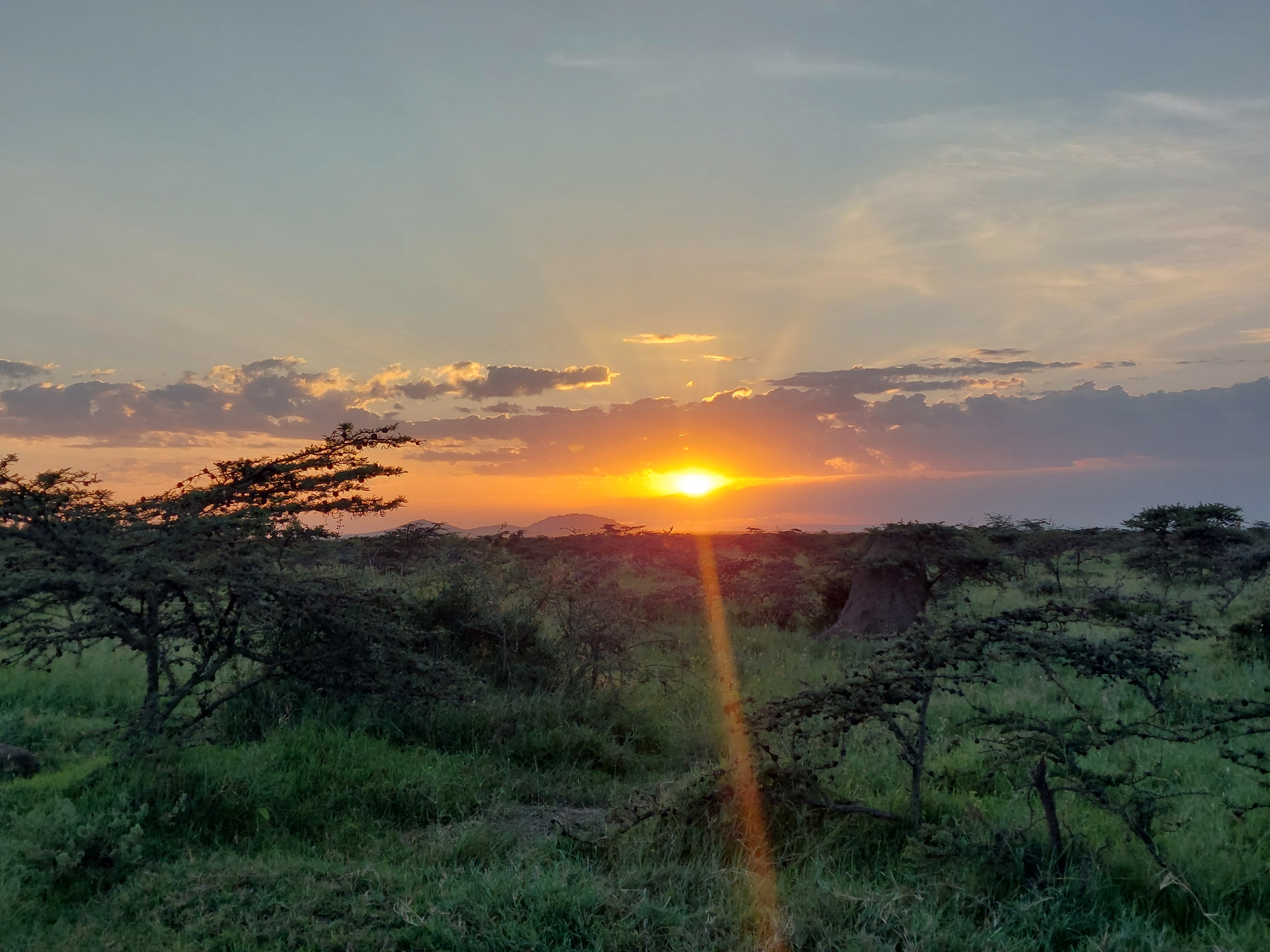
Sunset over the Kenyan bush in Narok County, 200 km west of Nairobi.
MASIKA (Kiswahili for “long rains”) is the first project of its kind focused on this season. Based in Nairobi, our team released nearly 350 weather balloons during the campaign to capture how the atmosphere changes during the transition from dry to wet conditions. These soundings tracked winds, temperature, pressure, and humidity throughout the atmospheric column. At the same time, a network of automatic weather stations recorded surface conditions across Kenya.
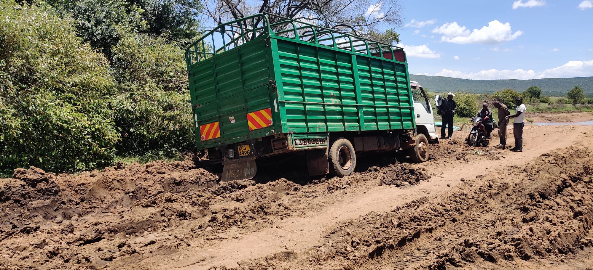
Travel during the Masika rains sometimes proved challenging.
Being on the ground gave us a whole new appreciation for the complexity of the region’s weather — and for the effort it takes to collect high-quality data in remote areas. It was also an opportunity to work closely with local scientists, share knowledge, and learn from their expertise. As part of the collaboration, I delivered a short course on Python for data analysis and visualisation to meteorologists at the Kenya Meteorological Department. Since then, they’ve been using Python to generate tephigrams — a key tool for interpreting atmospheric soundings.
The data we collected will help improve climate models, making them more accurate for this region. Ultimately, better models mean better information for decision-makers, who are facing tough choices about how to adapt to climate change.
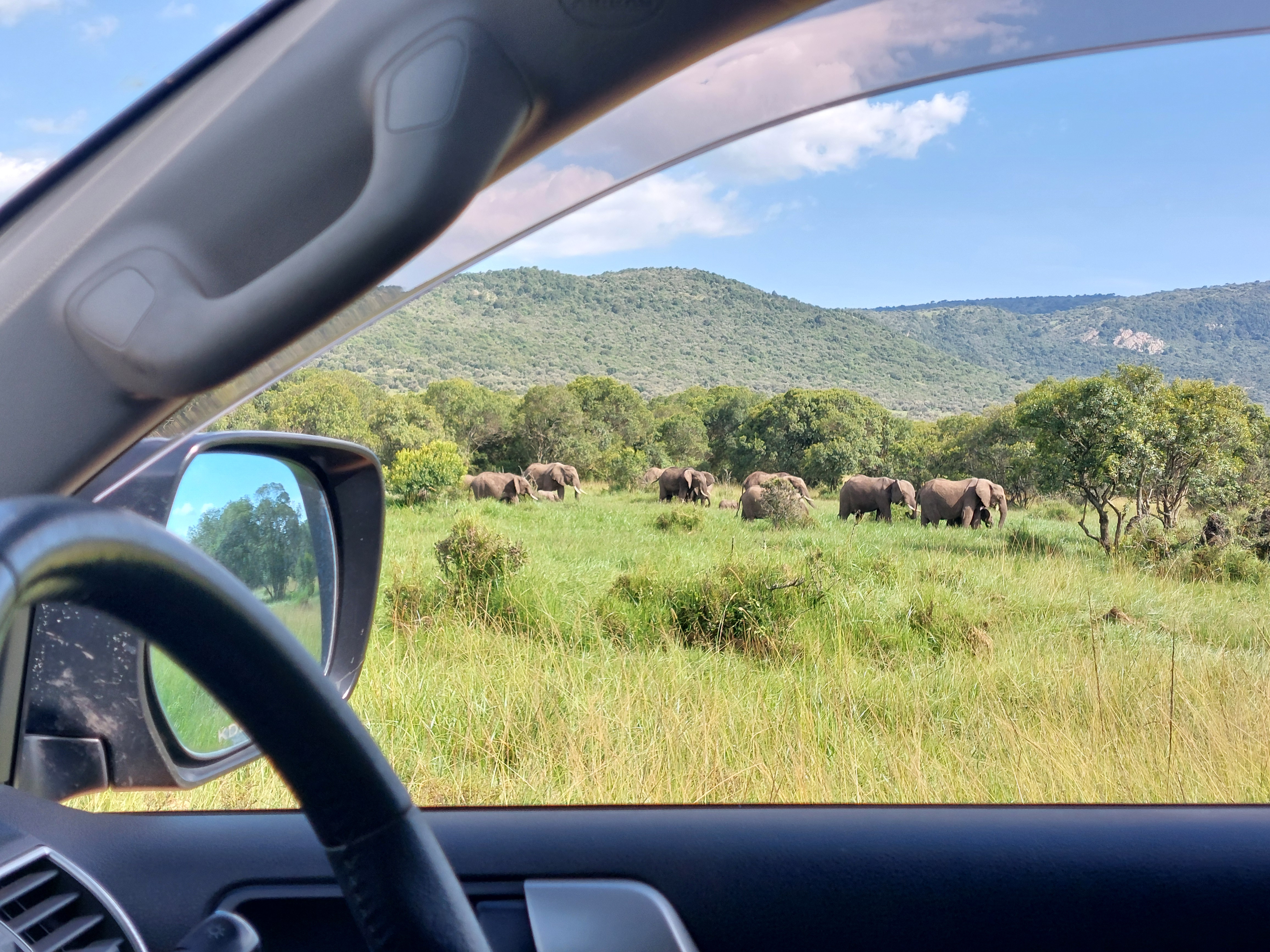
A herd of elephants in the Enonkishu Conservancy. Kenya’s wildlife was a constant highlight during the project.
The MASIKA project and field campaign is part of the REACH programme for water security and is funded by the UK Foreign, Commonwealth and Development Office.