The WesCON project was a large observational campaign across the south of England in the summer of 2023, aiming to improve forecasts of summertime extreme weather in the UK. The project was coordinated by the National Centre for Atmospheric Science, along with the University of Leeds and the Met Office. A particular focus of the project was to collect observations of turbulent processes in the atmosphere, with the aim of enhancing weather forecaster’s ability to make high-resolution predictions.
The Met Office commissioned Menapia, a Leeds-based weather drone (wxUAS) startup, to deploy their MetSprite wxUAS on the project. Menapia employed myself and 3 PhD students as wxUAS pilots and field assistants for the duration of the campaign.
The Menapia MetSprite wxUAS is an automated, harsh-weather-resistant system fitted with meteorological sensors. The field deployment provided the first opportunity for these wxUAS to be flown to heights greater than 120m and beyond visual line of sight (BVLOS) due to a unique set of permissions at Salisbury Plain Training Area (SPTA). As the airspace at SPTA is controlled, the team were able to obtain permission from the Civil Aviation Authority and Ministry of Defence to fly to 2km above the surface.
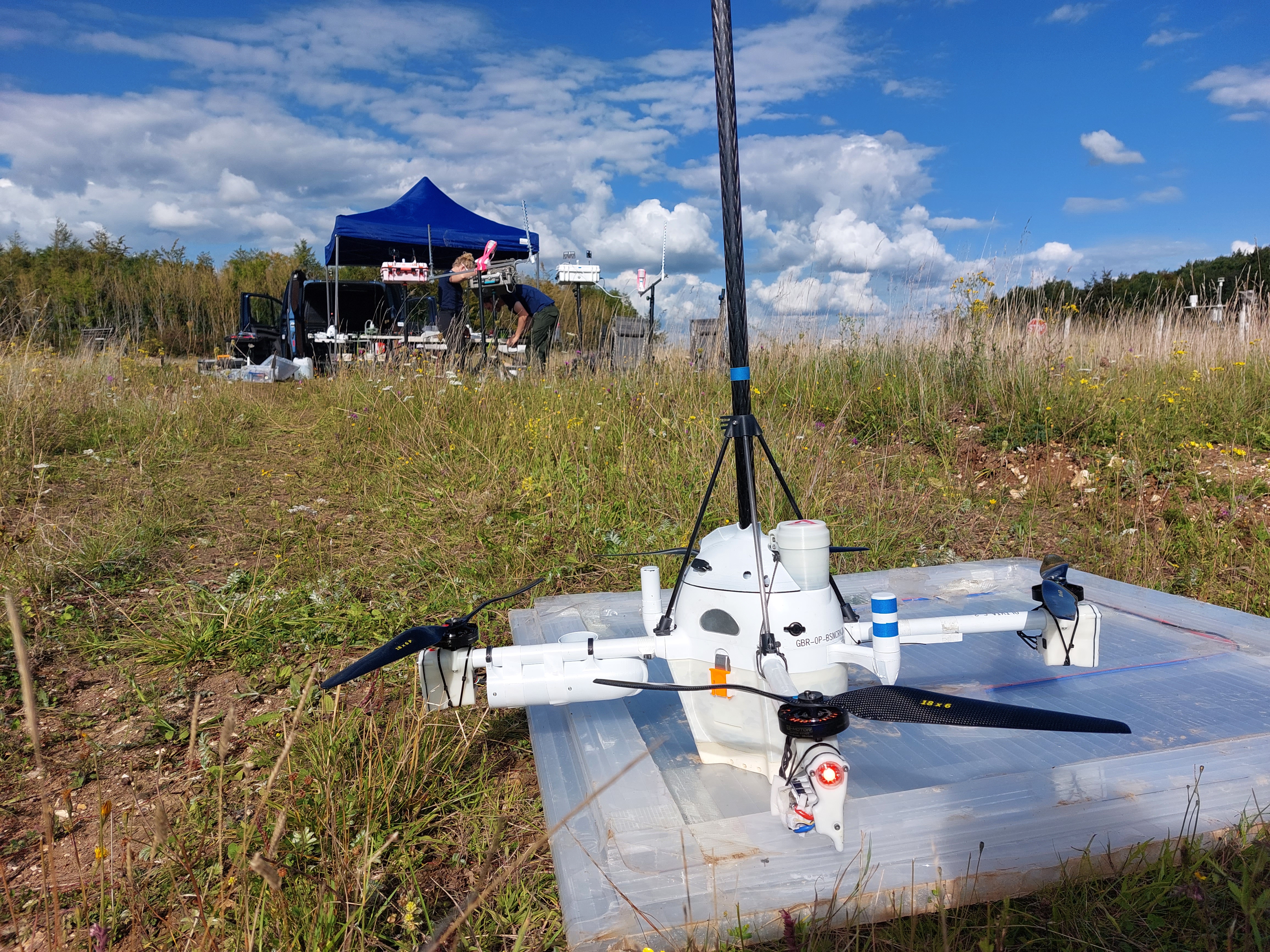
A MetSprite on the launch pad following a successful flight to 2km AGL.
The first stage of the campaign was centered around MetSprite testing, with ascents flown manually, before automation was progressively integrated into the data collection workflow. This short video from the first flight of a MetSprite to 1.5km gives an insight into the value of this novel observational method. The drone ascends through the cloud, stationary with respect to the latitude and longitude of its launch point, while clouds are rapidly advected past.
Weather drones (wxUAS) such as the MetSprite can sample the boundary layer in unprecedented temporal resolution. On one day of operations at Chilbolton Observatory, a MetSprite captured the evolution of the lower boundary layer through ascents to 120m every 10 minutes, while on another day operating from Salisbury Plain profiles to 2km above ground level were flown every 30 minutes. Pressure, temperature, humidity, 3D wind and turbulence observations are all retrieved for each of these ascents.
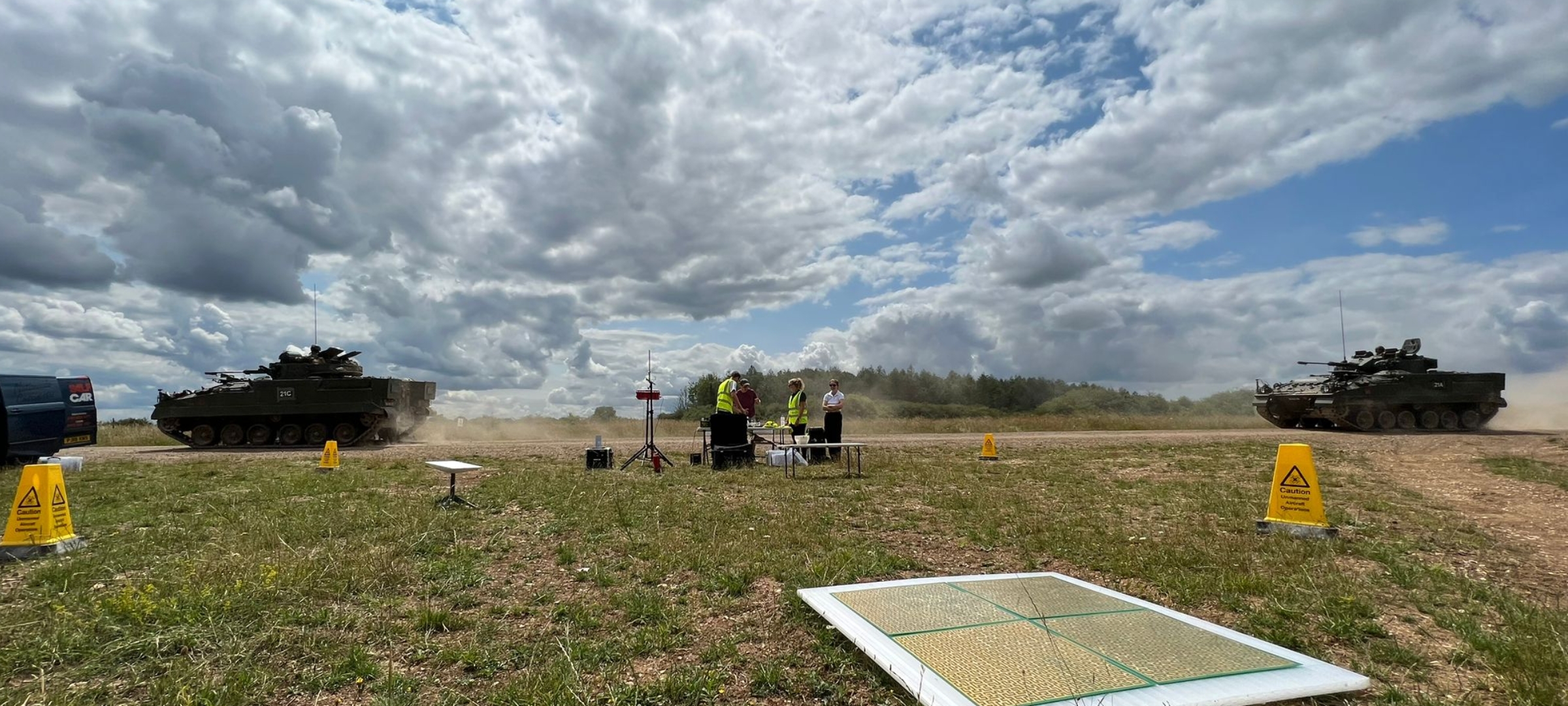
A common feature of life at Salisbury Plain Training Area (SPTA). Two British Army Warrior vehicles roll past the wxUAS setup.
This data has immense value. At present, weather forecasting models rely on theoretical knowledge to simulate turbulence and convection in our atmosphere. We know this provides a large source of error in numerical weather predictions. The data collected from wxUAS could revolutionise the way we understand and predict convection and rainfall in the UK. Menapia’s long-term vision is for routine, automated wxUAS observations across the UK, and for these to be assimilated by numerical weather prediction models to produce significantly more skillful forecasts.
![]()
MetSprite data for a day of operations at SPTA on the 18th August 2023. Moderate to heavy precipitation fell for a large portion of the day. An inversion at approximately 500 m AGL lasted from 06 UTC to 12 UTC. This split into a double-layered inversion twice, once at 07 UTC and again at 11 UTC. Surface heating occurs at 12 UTC. More analysis is available at woest.menapia.tech.
“We’re pushing into new territory by making beyond visual line of sight measurements at 2 km, and intend to push to even higher altitudes as our confidence and our airspace permissions allow.”
— Dr Ben Pickering, Chief Meteorological Officer of Menapia
Around ~130 flight hours and ~700 flights were flown by the team during the summer of 2023. A summary of the data collected by Menapia wxUAS is available at woest.menapia.tech.
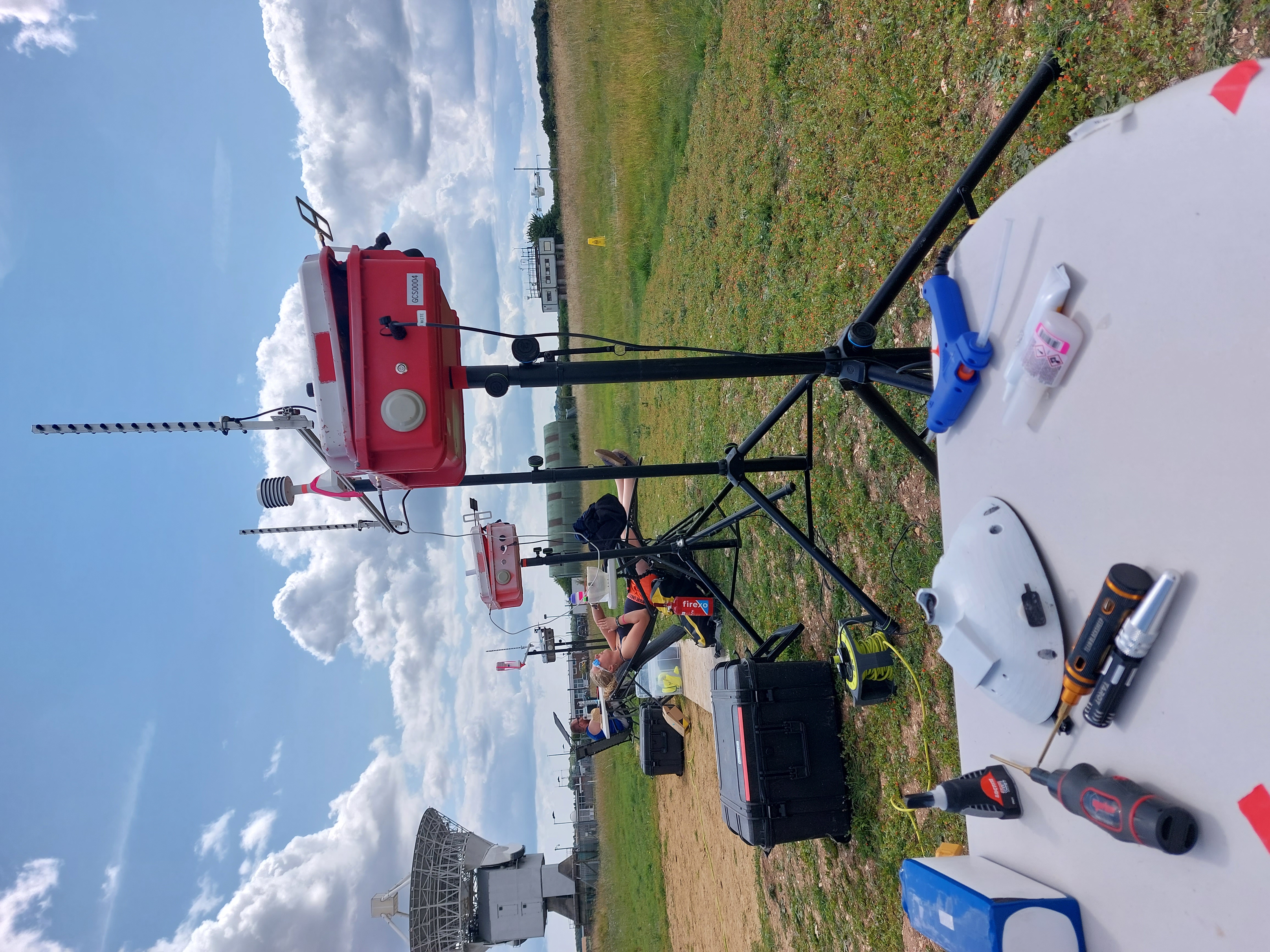
A typical operating setup at Chilbolton.
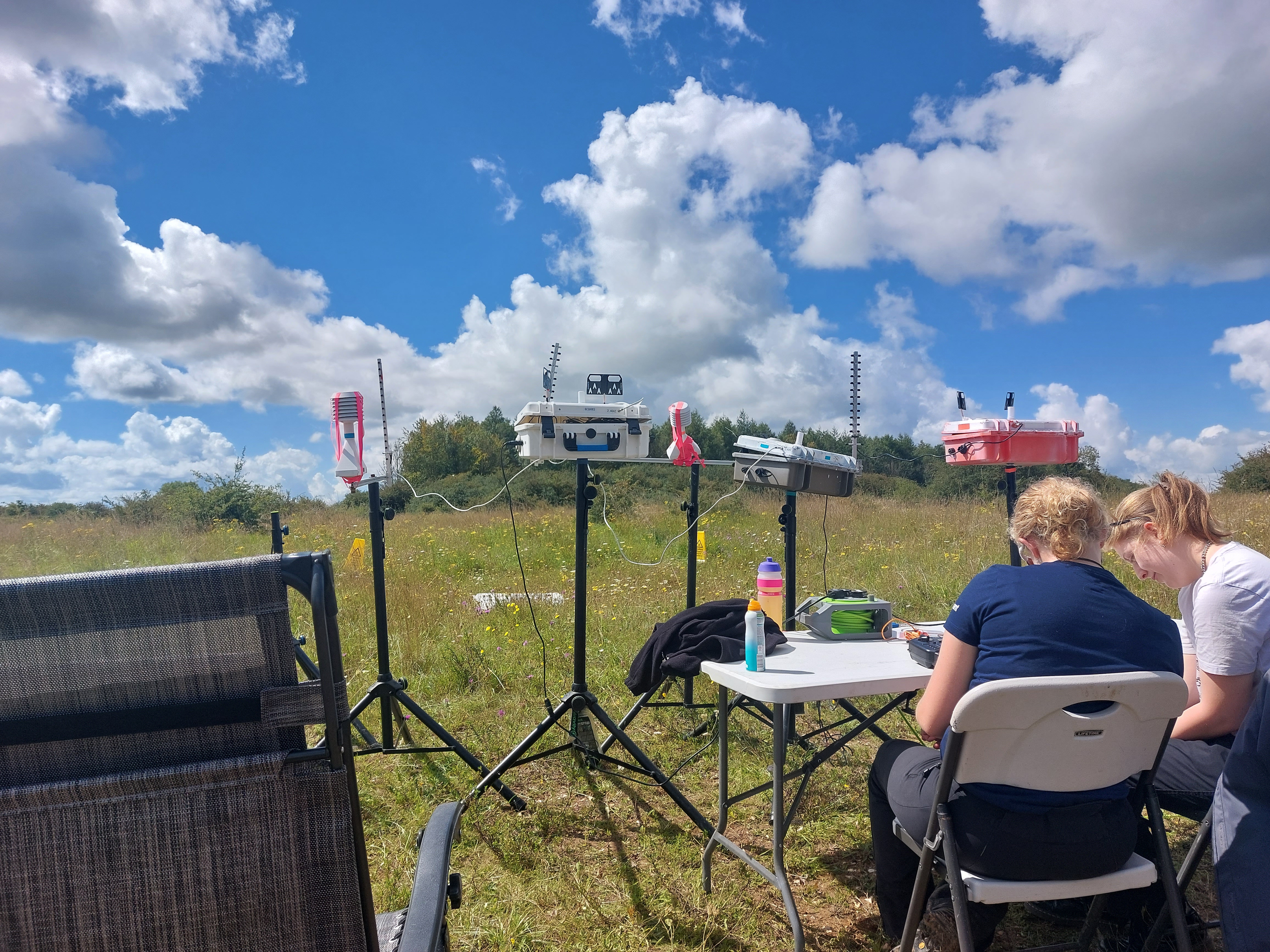
A typical operating setup at Salisbury Plain Training Area.